Two families of 3D. The same ground under both.
Every route platform has 3D now. Underneath, it is one recipe: a height map, a photo draped over it, nothing standing on it.
Rotate, tilt, zoom, pan: an explorer's camera, over ground with nothing on it to explore.
Play, pause, sometimes scrub: a passenger's seat. The better ones let you nudge the camera, then snap you back.
A photo draped over flat ground is a flat photo.
In the mountains, relief carries a 3D view. In the lowlands there is no relief to carry it, and what is left is what stands on the ground. Same place, same camera:
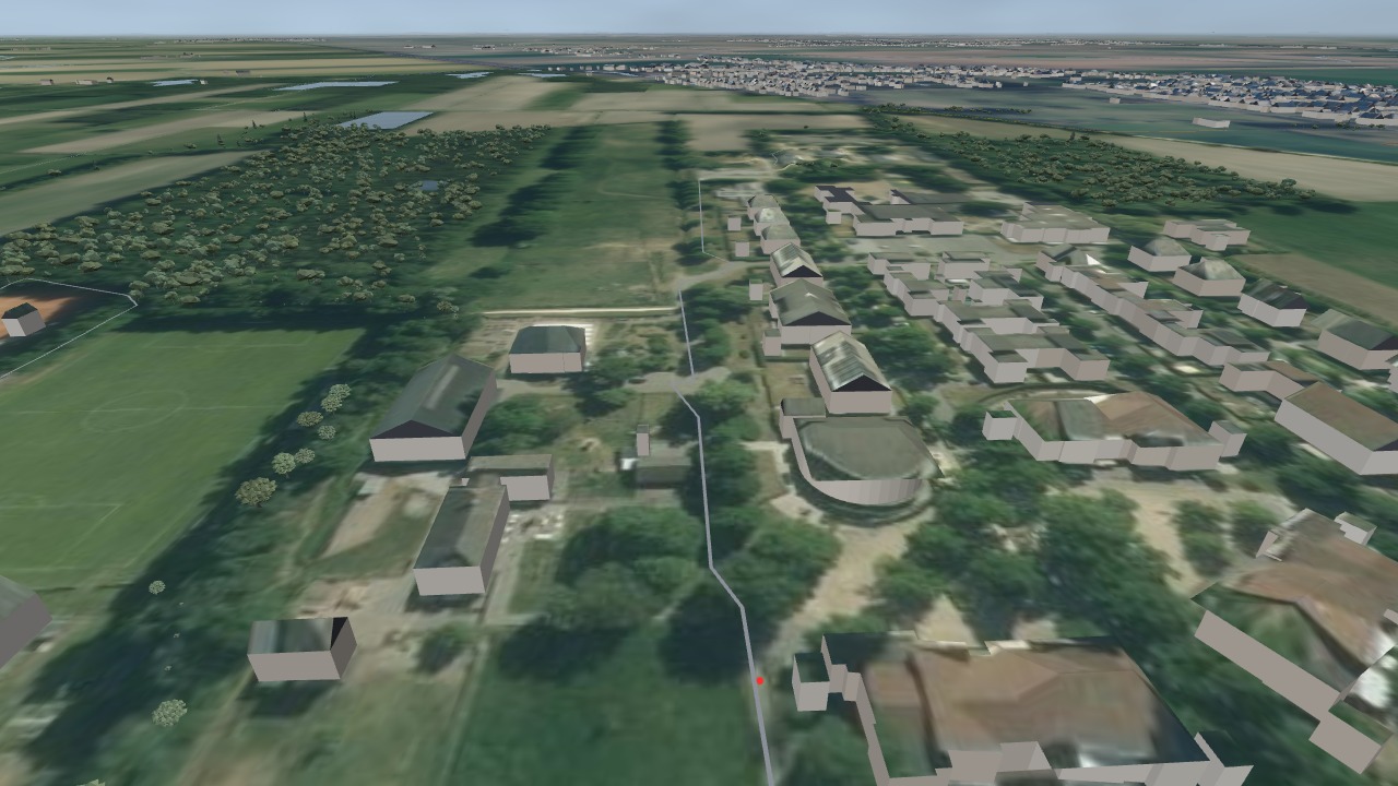
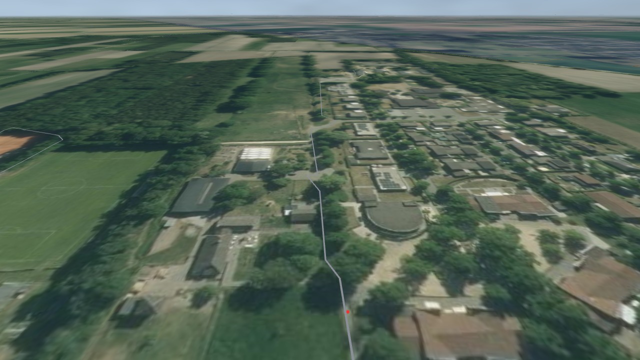 René's RoutesFlat drape
What the user can do, and what is on the ground.
| AllTrails | Strava | komoot | Outdooractive | Wikiloc | René's Routes | |
|---|---|---|---|---|---|---|
| Route flight | play; touching the map pauses it | play, pause, scrub, speed, re-center (app) | video of your own activity (app) | flyover preview | play, stop | play, pause, scrub, speed, three camera poses |
| Free 3D camera | web and app | app only | desktop web only | web and app, not in the planner | web and app | web and phone, straight from the flight |
| Stop on the trail and look around at eye level | — | — | photos at a point (Street View) | — | — | yes, down to the hiker |
| Trees, buildings, water as 3D objects | — | — | — | — | — | trees by species, real roofs, moving water |
| Bridges, churches, regional houses | — | — | — | — | — | yes |
| Animals, a hiker, ambient sound | — | — | — | music in the video | — | all three |
| Movie export | short recap share | video share (app) | Flyover video (app) | video (Pro, Pro+) | 3D video share (app) | MP4 in the browser, from any view, with sound |
| 3D-printable model | — | — | — | — | — | the trail and its surroundings |
| Link to a viewpoint | trail link | Flyover link | route link | — | — | any camera position |
| Embeddable 3D view | 2D embed only | 2D embed only | 2D embed only | flyover videos, white-label sites | 2D embed only | white label, link or iframe |
| Where the 3D sits | Plus, Peak | subscription | Premium (video free) | Pro+ | Premium | inside your product |
Researched October 2026 from each platform's help centre, release notes, app store listings and press. "—" means not found in the platform's own documentation. Terrain resolution is deliberately left out: the same national lidar is open to anyone through Mapterhorn. What stands on it is not.